Ellen's Glen+
Ellen's Glen is a hidden area of forest off Gilmerton Road.Online resources about Ellen's Glen
Description
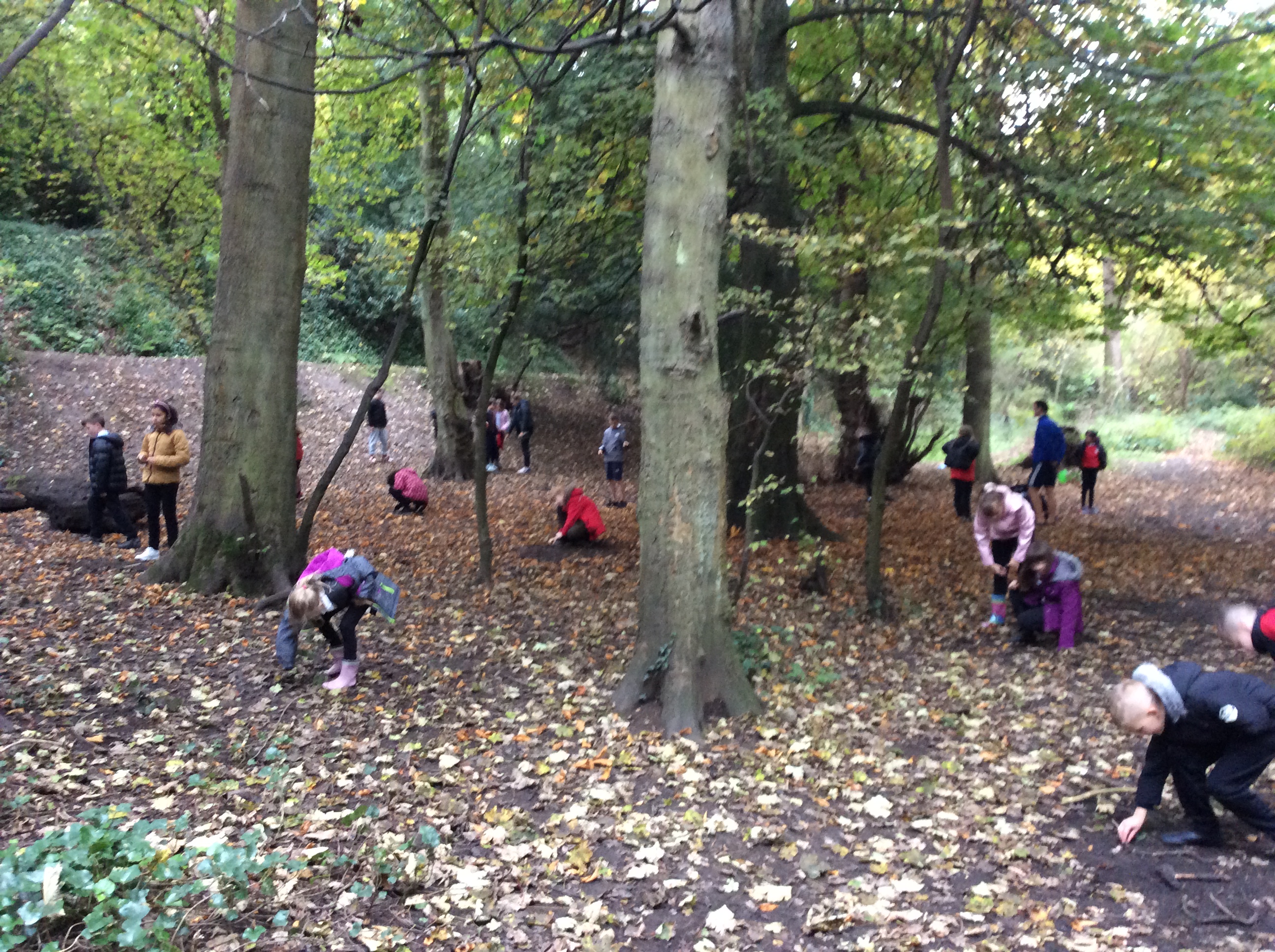
Craigour Park Primary frequently use this area of woodland just off Gilmerton Road. It can be accessed by following Guardwell Glen around the back of Morrisons or through a gate where Ellen's Glen Road meets Gilmerton Road. It has a muddy trail path down to Burdiehouse Burn where pooh sticks can be played off the small bridge. If you keep to the right of the burn you come to an open area with widely spread trees, a large tree trunk and an embankment. Classes often use this area for art activities throughout the different seasons, physical activities and various topic linked activities. A muddy trail path circles the area and up and along the embankment making a perfect relay route for cross country training. The path and embankment can be used to set boundaries with classes working in the area.
Location details
Free of charge
Trees woodland
Water - Stream / river
Mud
First
Second
Health & Wellbeing
Literacy / English
Numeracy / Maths
Geography
Expressive Arts
Languages
Conservation
Skills for learning, life and work
Supporting documents
This section lists supporting documents if the group has uploaded them, such as Teacher Notes, Presentations and Risk Assessments.
Disclaimer: Whilst we hope the descriptions and risk assessments shared on this site are a useful resource, we do not endorse their suitability or completeness for your purposes.
We are not responsible for any injury or death that results from you visiting sites or carrying out activities shared in the Outdoor Learning Map: It is your responsibility to assess the risks posed by any activity you do or site you visit.
Report this post
New Search+
Want to search again for another location? Enter a postcode or place here to discover more places to explore.
View all places on mapExplore more+
Discover the outdoors and what other groups are doing in your area. Find the most visited and the latest posts, as well as news about the Outdoor Learning Map. Be involved.


