Geography Field Studies+
Geography River field studiesOnline resources about Geography Field Studies
Description
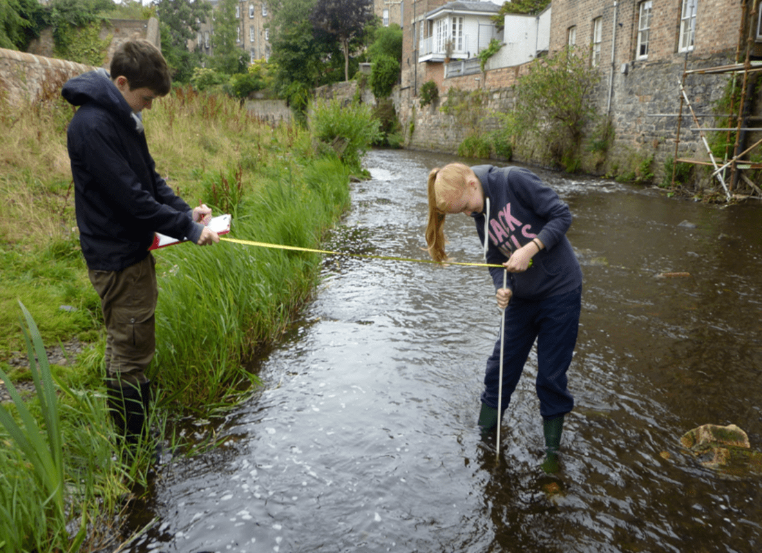
Between Stock Bridge and Falshaw Bridge in Stockbridge is an excellent location for geography river studies. The river is fairly shallow in low river levels and there are about three locations where a group of 5-6 pupils can group on the side of the river. Although the river is highly modified due to the historic industry powered by water mills and by the more recent construction of the flood defence works, these are all really interesting talking points. The only drawback is dog poo. You have to be really careful where you step and where you put down your equipment and bags.
Location details
Toilets
Parking
On a bus route
Wheelchair access
Changing facilities
Free of charge
Trees woodland
Water - Stream / river
National 5
Higher
Advanced Higher
Geography
Supporting documents
This section lists supporting documents if the group has uploaded them, such as Teacher Notes, Presentations and Risk Assessments.
Disclaimer: Whilst we hope the descriptions and risk assessments shared on this site are a useful resource, we do not endorse their suitability or completeness for your purposes.
We are not responsible for any injury or death that results from you visiting sites or carrying out activities shared in the Outdoor Learning Map: It is your responsibility to assess the risks posed by any activity you do or site you visit.
Report this post
New Search+
Want to search again for another location? Enter a postcode or place here to discover more places to explore.
View all places on mapExplore more+
Discover the outdoors and what other groups are doing in your area. Find the most visited and the latest posts, as well as news about the Outdoor Learning Map. Be involved.


