Does Braidburn follow the Bradshaw model+
Higher geographers used Howden Burn as their first site when assessing the Bradshaw Model.Online resources about Does Braidburn follow the Bradshaw model
Description
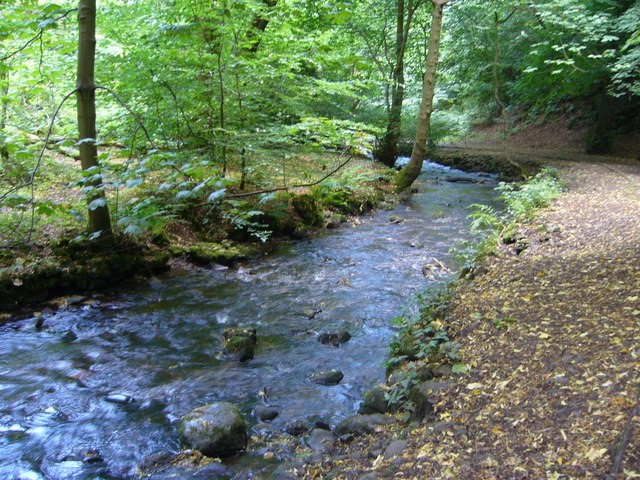
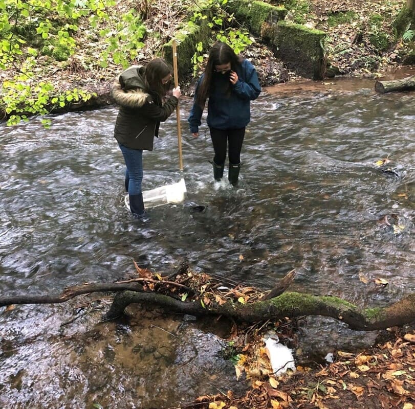
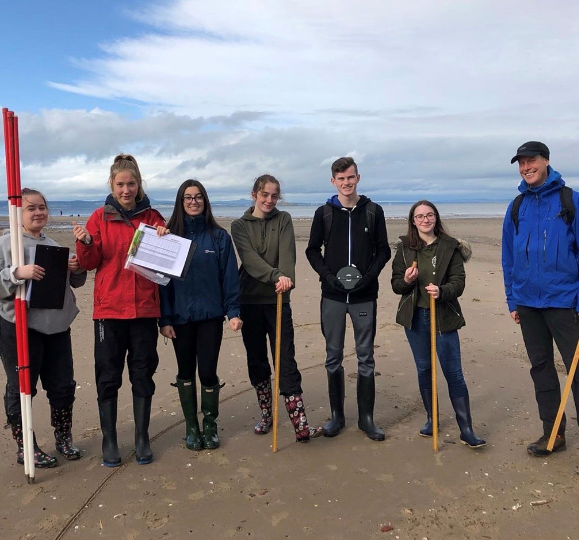
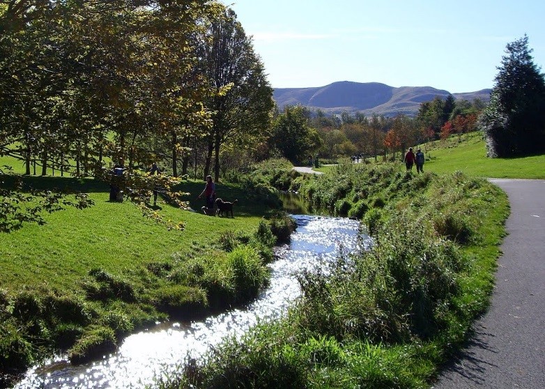
At this first site the students measured river width, depth, wetted perimeter, flow/discharge, angularity of load, average stone size and slope angle. We visited a further 4 sites in order to analyse whether Braidburn follows the Bradshaw model. Other sites included Dreghorn Barracks, Braidburn Park, the Hermitage of Braid and Portobello Beach. In an ideal world it would have been good to include Inch Park and Figgate Park - but we only had a day to do our data collection.
Location details
Parking
Free of charge
Grass
Water - Stream / river
National 5
Higher
Advanced Higher
Geography
DofE Award
JASS
John Muir
EcoSchools
RSPB Wild Challenge
Supporting documents
This section lists supporting documents if the group has uploaded them, such as Teacher Notes, Presentations and Risk Assessments.
Disclaimer: Whilst we hope the descriptions and risk assessments shared on this site are a useful resource, we do not endorse their suitability or completeness for your purposes.
We are not responsible for any injury or death that results from you visiting sites or carrying out activities shared in the Outdoor Learning Map: It is your responsibility to assess the risks posed by any activity you do or site you visit.
Report this post
New Search+
Want to search again for another location? Enter a postcode or place here to discover more places to explore.
View all places on mapExplore more+
Discover the outdoors and what other groups are doing in your area. Find the most visited and the latest posts, as well as news about the Outdoor Learning Map. Be involved.


City of Edinburgh Council Outdoor Learning Team – Learn more at www.experienceoutdoors.org.uk.